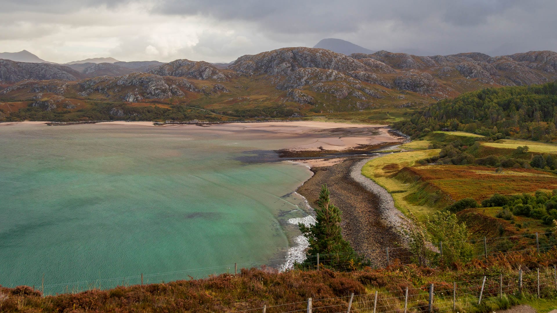
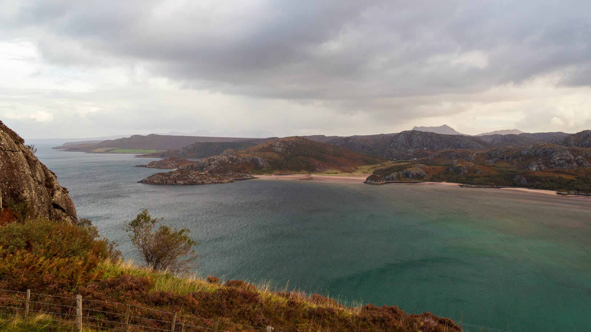
Gruinard Bay, on the rugged west coast of the Scottish Highlands, shelters pink sandy beaches with turquoise waters rolling in.

The Nordic word Gruinard means “shallow bay”. And it really is shallow. When the water recedes from the bay at low tide, it exposes a huge beach with shimmering reddish sand.
Gruinard Bay is certainly one of the most beautiful beaches on the North Coast 500, and travelers can take a long walk here. But there are also hiking trails leading inland from here. Such as the one to the Eas Dubh waterfalls. A short walk of around three kilometers (description on Walkhighlands).

The view over the bay can be enjoyed very well from the road, as there is a small bay a little further along the road. This is the Gruinard Bay Viewpoint.
Knowledge: Gruinard, Operation Vegetarian and the 500-pound island
Gruinard Island is within sight of the bay. This island also has a lot to do with German history. Biological weapons were tested on it during the Second World War. The idea was to use these weapons against the Germans if the Nazis started using them. Anthrax was chosen. The project ran under the code name “Operation Vegetarian”.
But was this weapon effective? The British scientists wanted to find out. That’s why they tested anthrax on an island in Wales and on Gruinard Island – the island off Gruinard Bay.
Gruinard Island once belonged to the MacKenzie clan and was forested. But by 1942 there was not much left of it. The government confiscated the uninhabited island and carried out an experiment with an anthrax bomb and 60 sheep. It was successful, the sheep died within a few days.
The operation could have been carried out in the summer of 1944. Bombers were to drop linseed cookies to be eaten by cows as they grazed. Not only would cows have died, but anthrax would also have entered the food chain. Fortunately, there was no need for this.
However, Gruinard Island was permanently contaminated and the government bought it from the owners in 1946. But they had a right to buy it back: if the island was safe again, they or their heirs could buy it back for 500 pounds. But until then it was forbidden land.
The government simply let the island lie until it became a target itself. A militant Scottish group called “The Dark Harvest” collected attempted soil from the island and placed samples of it in places where government officials were staying. The action had an effect, as the island was decontaminated in 1986. Sheep were again used for testing purposes, but they fared well on Gruinard Island. The island was released again in 1990.
But this also meant that the descendants of the owners could buy the island for 500 pounds. As many people only heard “island for 500 pounds”, the ministry was inundated with purchase requests. Instead, Gruinard Island was returned to the heirs of the former owners as planned.
How to get there
Gruinard Bay is located on the A832 on the North Coast 500, about 60 km drive northwest of Ullapool. There is a parking lot directly at the entrance to the beach.
With satnav: “IV22 2NQ” will take you to the area.
Without satnav: Coming from Ullapool, take the A835 towards Inverness. In the Corrieshalloch Nature Park, the road to Inverewe and Dundonnell branches off to the right. This is the A832, which you should follow until you see the parking lot on the left. This is Gruinard Bay.