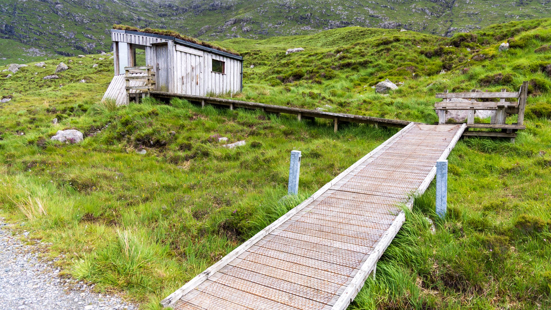
Majestic eagles circle above the mountainous north-west of Harris Island. To watch them, a hike leads to the North Harris Eagle Observatory.
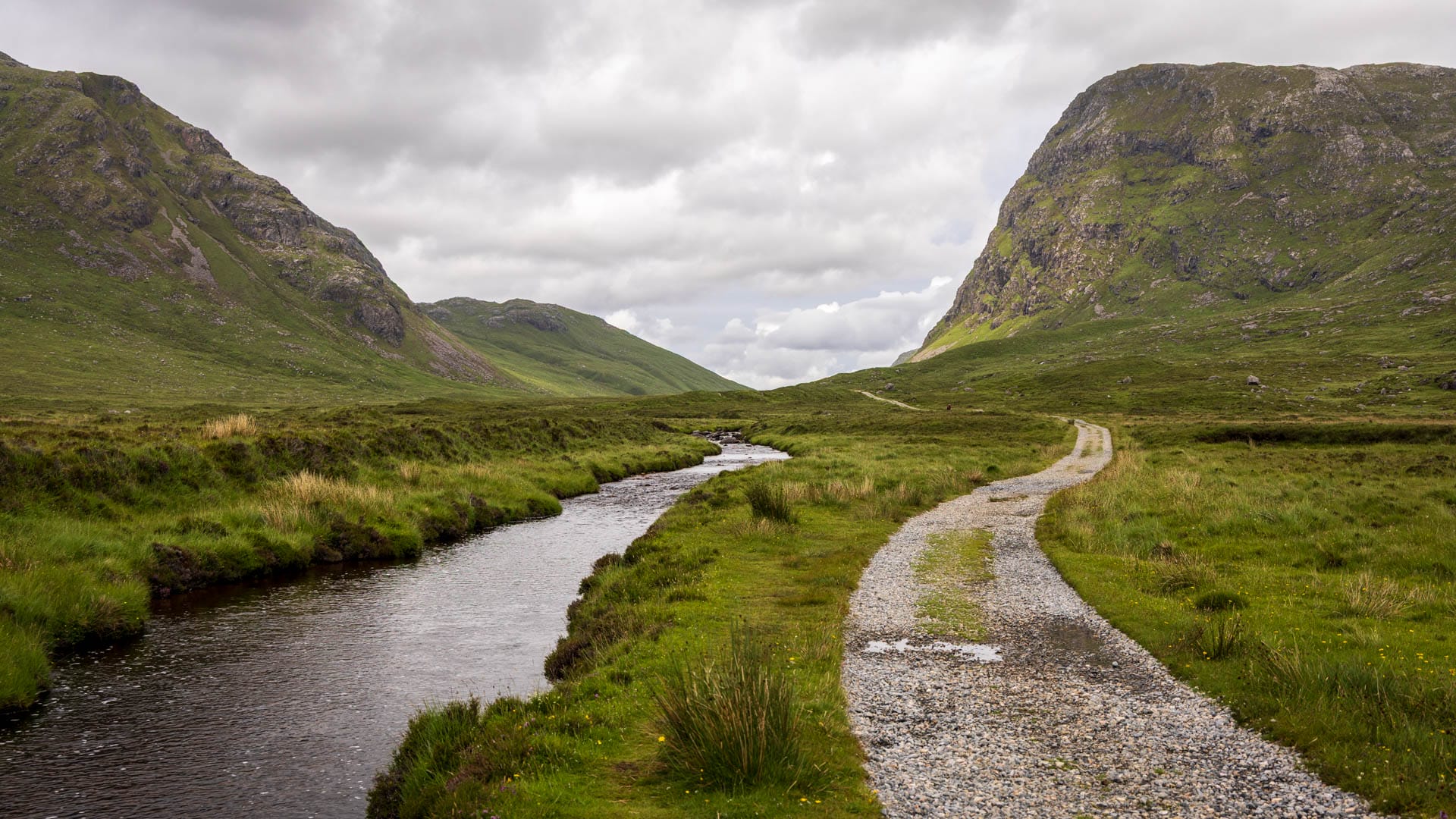
On the way to the marvellous Hùisinis beach, the road bends in a dip near Miabhag. At the head of this bend is a small car park, which serves as the starting point for the North Harris Eagle Observatory.
The well-maintained footpath climbs gently and leads through an enchanting mountain world: steep flanks, sharp ridges and a river in between. At the end of the walk is the wooden hut from which the eagles can be observed.
However, there is no guarantee that they will appear there. And so hikers should simply let their gaze wander again and again during the three kilometres or so. They can sail in front of the grey rock face to the west or circle above the mountain peaks. Binoculars can be very helpful here.
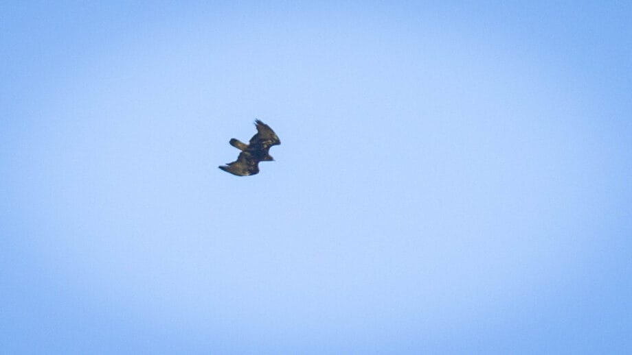
Harris is home to two species of eagle. In this area it is mostly the golden eagle. However, there are also a number of white-tailed eagles throughout the Outer Hebrides.
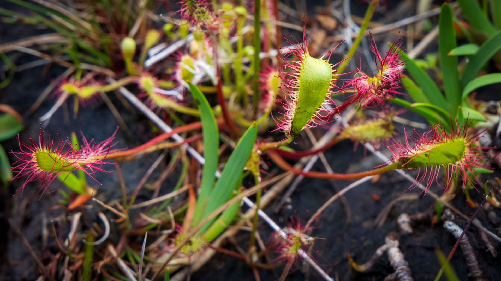
As well as the eagles, the path to the Eagle Observatory also reveals plenty of other typical island life. Rare plants such as ferns, sundew and butterworts can be found in the moorland.
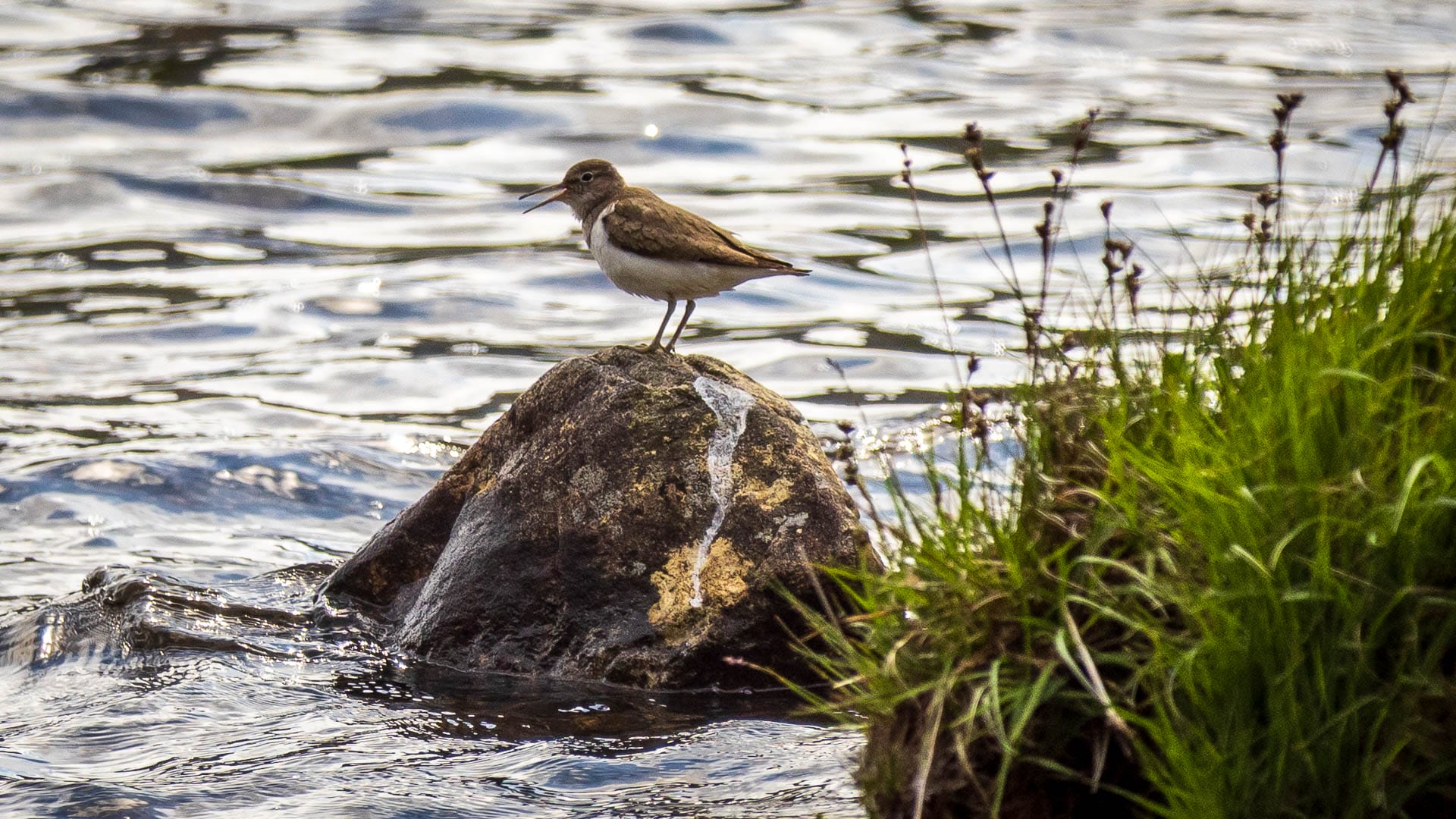
The riverside and lake are also teeming with smaller birds such as merlins, golden plovers, sandpipers, stonechats and many others.
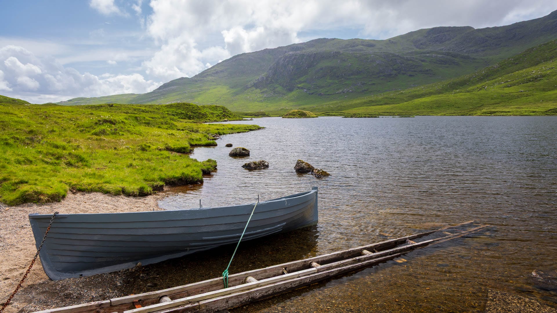
By the way: You don’t have to stop at the North Harris Eagle Observatory. The path continues and is well developed for a while. Walkers reach Loch Scourst, which offers a wonderful backdrop all of its own.
If you are really good on foot, continue along the footpath to Bogha Glas Car Park. It’s an easy (!) 17 kilometres in total. In theory, this could also be done using the existing bus connections.
Whether hikers will see eagles at the end is not certain. But we are certain that the landscape and the route alone are worth it. We have mapped our route here and ended up covering around eight kilometres.
How to get there
With sat nav: “HS3 3AW” will take you to Miabhag.
Without sat nav: Take the B887 to Hùisinis. The road is mostly uphill at first. After a while, the road turns inland at a bay and loses height again. At the end of the bay, after a small bridge, you will see the sign “Miabhag nam Beann”. There is a car park here.